|
Matthew Fagan is an Assistant Professor in the Department of Geography and Environmental Systems at the University of Maryland, Baltimore County. He received a Ph.D. from Columbia University with a dissertation on changes in forest connectivity in northern Costa Rica. He is interested in applying remote sensing and GIS techniques to solve problems in conservation and ecology. A native Texan, he and his family now hail from Silver Spring, MD.
|
|
Meagan Fairfield-Peak is a GES Master's student in the EFA lab. With extensive experience in GIS as a geoenvironmental technician, she is currently working on exploring remote sensing techniques and skillsets. She is interested in forest restoration monitoring and overall landscape management decision support.
|
|
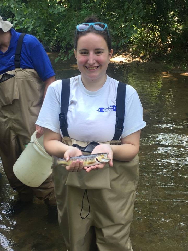
Leah Staub is a Master's student (Fall 2021 - present) in the Fagan Lab and is pursuing the study of riparian forest canopy gaps and their effect on the health of the riparian zone. Leah is hoping to conduct field research as well as broaden her GIS skill sets in this study. She works at the USGS Water Science Center and enjoys backpacking and bird watching in her free time.
|
|
Felipe Saad is a PhD student (Fall 2021 - present) in the Fagan Lab. He has a Master's Degree in Ecology and Conservation from the Federal University of Paraná (UFPR - Brazil), and used remote sensing to identify the critically endangered species Araucaria angustifolia. He has an interest in the application of Remote Sensing and new technologies to the preservation and conservation of the environment.
|
|
Hasan Ahmed is a PhD student in the EFA lab (Fall 2021 - present). Hasan is a Forest Ecologist specializing in Geo-information Science and Earth Observation. His interest is in applying and developing remote sensing techniques to assess forest structure, forest canopy, forest biomass/carbon, forest degradation, and land-use dynamics. In addition, he is expanding his proficiency in Python and R for geospatial analysis using machine learning and deep learning techniques.
|
|
Anisha Jayadevan is a PhD student in the EFA lab (Spring 2021 - present). She is broadly interested in studying the drivers and consequences of land-use change and habitat fragmentation in forests and open natural ecosystems. She has a Master's degree in Wildlife Biology and Conservation from the National Center for Biological Sciences, India.
|
|
Tanja Crk is a second-year MEES PhD student in the EFA lab, co-advised with Dr. Andy Baldwin at University of Maryland College Park. Tanja has graduate degrees in conservation biology and international policy, and extensive experience at EPA. She is interested in evaluating the impacts of sea level rise on coastal ecosystems.
|
Emeritus Members
|
Dr. Do-Hyung Kim, a former postdoctoral research associate with the Fagan lab, went on to work at NASA and now UNICEF. He is interested in the impacts of conservation and governmental policies on tropical forests, and has extensive expertise in remote sensing, programming, and the analysis of large data sets.
|

Justin Drew is an emeritus undergraduate student pursuing a degree in Computer Science on the Data Science track and a certificate in GIS at the University of Maryland, Baltimore County. They are proficient in R, Python, Java, and C++ and are actively expanding their knowledge of R and Python to include machine learning and geospatial analysis. They aided the lab’s research efforts with analysis and visualization of data on forests and landscapes.
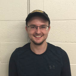
Daniel Cunningham is an emeritus member, a former Masters student in the Fagan lab. Daniel's interests include landscape connectivity, tropical conservation, and mapping habitats using remote sensing. His thesis work examined and corrected issues with global forest cover maps, with Costa Rica as the focal test country. His work will be used to assess the impact of the Costa Rican Biological Corridor program on forest loss and structural connectivity between protected areas. The first chapter of his thesis is now published in Forests, and the second chapter is published in Remote Sensing. He is currently working as a geospatial and machine learning analyst at Maxar Technologies.
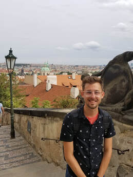
Alex Rittle was a fourth-year PhD student, co-advised with the Baker lab. Tragically, Alex passed away in December 2020; working with him was a great privilege and honor, and we will miss him always. Alex was applying low-altitude, optical photography to analyze the spatial dynamics of riverscapes within the context of their hydraulic, geomorphic, and ecological composition. His outstanding thesis work was focused on how riverscapes recover from dam removal. He had recently completed a two-year coastal resiliency fellowship with NOAA's Sea Grant program, and he was an active member of the Graduate Student Association where he served as President, advocating for student rights and professional development. He also mentored undergraduate students in GIS and photogrammetry, and was a well-loved TA with a big heart and boundless patience.

Julian Holman is an emeritus undergraduate student who graduated with a degree in Geography and Environmental Studies and a Geographic Information Systems certificate from the University of Maryland, Baltimore County. He has studied computer science and has experience with Java, HTML, CSS, and R. He also has knowledge of sociology and is interested in using remote sensing and GIS methods to identify and solve human-environmental issues. His subsequent Masters thesis in the Hawn lab at UMBC analyzed geotagged social media data to investigate spatial patterns in attitudes towards spiders.
|
Haven Carlson graduated from UMBC in 2017 with a BS in Computer Science and a BS in Geography. She has interned at the Chesapeake Bay Foundation and NASA. Her interests include remote sensing and geospatial programming. After a stint at Northrop Grumman as a software engineer, she now works at NASA Goddard Space Flight Center.
|
|
Jennifer Christhilf is an emeritus undergraduate student and URCAD scholar. She is interested in the spatial distributions of species, particularly of forests, as well as landscape formation and the use of remote sensing techniques. She worked on a habitat classification map of mangrove, coppice, and conifer forests of Andros Island, Bahamas, currently submitted for publication in a revised form. Past projects include predicting change in volumetric flow rates of the Mekong River with projected Chinese dam construction, understanding the effect of lithology (shale and sandstone) on nitrogen status of forests in central Pennsylvania, and examining the relationship between NASA MODIS Aqua Level 3 Aerosol Product and NOAA VIIRS L3 Aerosol Product.
|
|
Jeremy Powell worked as a SESYNC research technician in the lab and graduated UMBC in spring 2018. As part of the SESYNC working group, "Food and Landscape Diversity", Jeremy mapped forest cover using RapidEye imagery at several sites across the global tropics. He has expertise in GIS and remote sensing, with particular strengths in land cover classification and independent problem solving.
|
|
Tairi Mena worked in the lab as a GIS intern, organizing and image processing historical land cover maps of Costa Rica. She graduated in December 2017.
|
|
Joshua Slaughter is a senior at UMBC; he worked in the lab as a high school junior and senior while completing his MD state certification in GIS.
Joshua Schaferbien is a senior in GES at the University of Maryland Baltimore County. He received his Associates degree from the Community College of Baltimore County in Geospatial Applications. He has strong GIS expertise and some of his passions include camping, exploring trails, and playing sports.
|

